Map data © 1987-2014 HERE
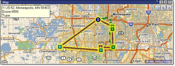
Users can perform reverse geocoding on a GPS location reported back to Descartes Route Planner via a wireless message and shown on the map as a green dot. With this option, they will be able to have geocoded addresses for unplanned customers or other locations.
To reverse geocode GPS points:
· On the Map quadrant, right-click on the route or green dot and select Reverse Geocode.
The geocoded address information is displayed on the Map.
Map data © 1987-2014 HERE
