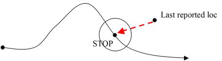
Using a user configured distance tolerance, geofencing can be applied at the stop level to monitor when a vehicle is picking up or delivering at a location different from the plan.
· A vehicle violates a stop geofence restriction when its last reported longitude/latitude passed in a GPS or Status message lies outside of its geofence stop threshold centered at the planned stop of its Route.
· This violation represents a delivery or pickup at the wrong location.
· The radius of the imaginary circle is set in the Configuration page described in Configuring Geofencing.
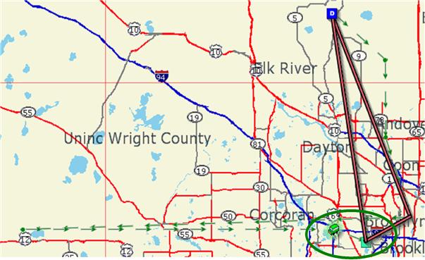
The Descartes Routing and Scheduling UI displays a green animated arrow from the last reported vehicle location to the planned vehicle location or stop.
In Descartes Routing and Scheduling: